
This project will develop a modeling framework for integrating professional and citizen-science data, leading to smarter surveillance and improved estimates of AIS distribution that account for imperfect detection and sampling biases.
February 2024 project update:
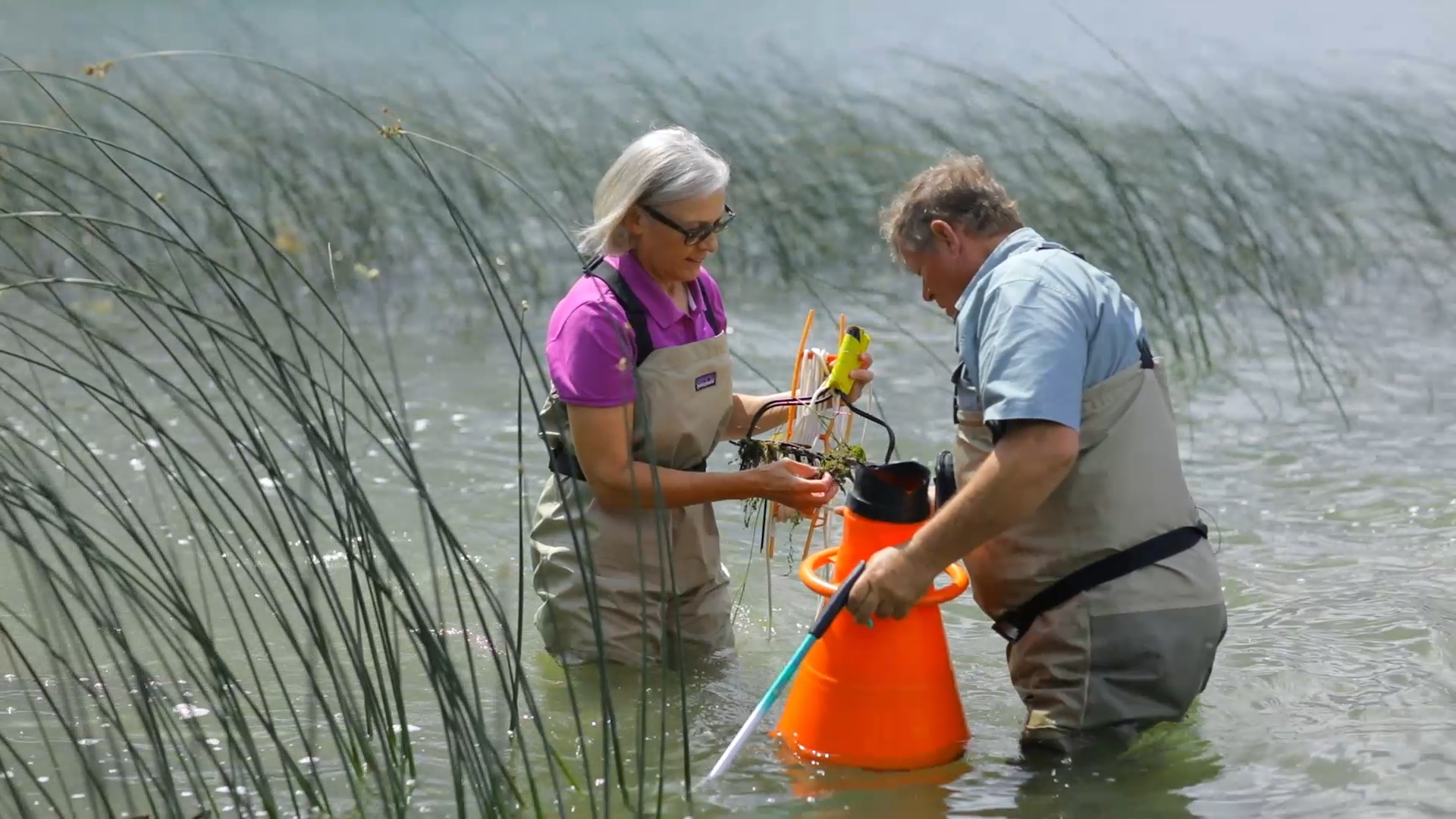
The research team has gathered various data sources to improve their models of Aquatic Invasive Species (AIS) distribution and spread. For their Eurasian Watermilfoil (EWM) model, they've summarized lake characteristics such as water clarity, proximity to roads and cities, and county population size. They've also collected information on boater activity, surveys, and known EWM locations.
As for their Starry Stonewort (SSW) model, they've analyzed survey data from 23 lakes, obtained data on public boat access points from the Minnesota Department of Natural Resources (MN DNR), and mapped out private access points on these lakes. Additionally, they've developed methods to measure factors like lake shape and distances to boat access points more accurately.
Their SSW model findings have already been used to shape survey strategies for a current project focused on studying SSW's impact on wild rice. The research team suggests focusing surveys on shallow areas with high wind exposure near boat access points, preferably during late summer or early fall when detection rates are higher. While their EWM model hasn't been fully developed yet, they remain optimistic about its potential success based on progress with a simpler version.
The team anticipates that these tools and methodologies will be valuable for future projects at the Minnesota Aquatic Invasive Species Research Center (MAISRC), especially since one team member who helped develop them has been hired as a Quantitative Ecologist at MAISRC.
Research findings:
The research findings revealed that the distance to the nearest access point for boats was a key factor in predicting where starry stonewort would be present, suggesting that boats play a major role in spreading this species. Additionally, factors such as fetch (the distance over which wind can travel across open water) and water depth also influenced the likelihood of finding starry stonewort.
The team found that the probability of detecting starry stonewort varied depending on the amount of plant cover in an area, with higher detection rates in areas with less vegetation. Based on their results, they recommend that surveyors focus their efforts on areas with shallow water and high wind exposure near boat access points. They also suggest conducting surveys in late summer or early fall when detection is most likely.
Based on the results of this research, this study demonstrates how detailed modeling can help predict where newly established populations of hard-to-find species might be located, aiding in their early detection and control efforts.
Background:
Probabilistic, structured surveys performed by professionals provide high quality data for invasive species surveillance, but the high costs associated with these surveys limit their use. Thus, citizen scientists play a key and growing role in detecting and monitoring invasive species in Minnesota and elsewhere. For example, volunteers participating in the MAISRC/Extension program, Starry Trek, have discovered 3 of the 13 known starry stonewort populations in Minnesota, and AIS Detectors have performed thousands of hours of surveillance for AIS. Yet, estimating the spatial distribution of invasive species from citizen-science data alone is challenging, because the probability of detecting an invasive species depends on both its abundance and on how sampling effort is allocated—typically in a manner that is spatially heterogeneous and biased towards areas that are easy-to-access (see visual). Further, species are not always detected when present (“imperfect detection”). In these cases, it is difficult to estimate occurrence risk, i.e., the probability a target species is truly absent versus present but not yet observed.
To address these challenges, and thus maximize the value of data collected by AIS professionals and citizen scientists, the research team will:
- Develop an integrated modeling framework that leverages the complementary strengths of data collected opportunistically by citizen scientists (widespread coverage in space and time) and structured survey data collected by AIS professionals (known sampling effort, reduced sampling biases);
- Apply this framework to two high-priority aquatic invasive plant species, Eurasian watermilfoil and starry stonewort. These species differ in their statewide abundance, stages of invasion, biology, and detectability. This framework will lead to improved estimates of the distributions of these species and improved understanding of the factors that influence their occurrence and detectability;
- Explore ways to improve AIS surveillance more generally (e.g., by strategically allocating sampling effort spatially, temporally, and between structured and unstructured survey efforts).
Project Information
Project manager: John Fieberg, Department of Fisheries, Wildlife, and Conservation Biology
Project team: Alex Bajcz, Quantitative Ecologist, MAISRC, Department of Fisheries, Wildlife, and Conservation Biology
Lab: Fieberg Lab
Project timeline: 2021-2023
Funded by: State of Minnesota, Heritage Enhancement 2019
